Geophysical Investigation of Part of Ahmadu Bello University Farm, Nigeria
Keywords:
Aeromagnetic, Clay, Laterite, Sandy clay, Electrical resistivityAbstract
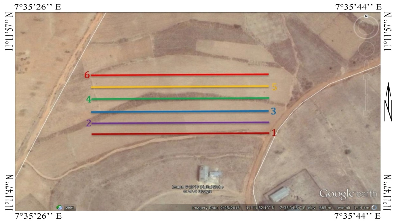
Geophysical methods are becoming an increasingly valuable tool even for agricultural applications. Agricultural geophysics investigations are commonly focused on delineating small- and/or large-scale objects/features within the soil profile (````````~ 0 to 2 m depth) over very large areas. The study was carried out at a farm site in Ahmadu Bello University, to delineate subsurface structures with depth. It revealed the lithological units in the study area. The analyses has revealed various lithological units from the results of the inverted sections along the profiles. The study area has shown clearly two distinct layers, overburden and weathered basement. The overburden layer is clayey sand, sandy clay, and laterite. This laterite soil show very high resistivity anomaly that may be referred to as consolidated laterite. The weathered layer which contains medium grained sand with clay and feldspar materials also has the presence of fractured part that could act as the aquifer in the area. From the subsurface properties, this farm land may have low agricultural yield or may limit the cultivation potential of the region, but the region may be good for underground water yield.

Published
How to Cite
Issue
Section
Copyright (c) 2023 J. O. Osumejeh, D. Eshimiakhe, E. A. Kudanmya, F. Ojo, K. M. Lawal

This work is licensed under a Creative Commons Attribution 4.0 International License.


